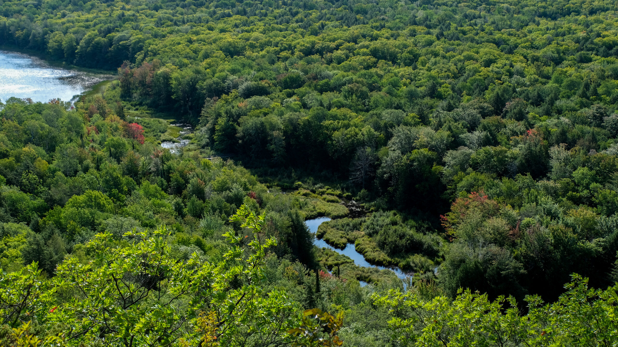
Drive to the western edge of the U.P., almost to Wisconsin, and you can stand at a railing and look down on Lake of the Clouds, a long dark lake cradled in a forested valley between two ridges. It is the single most photographed spot in the Upper Peninsula, and the walk to the overlook from the parking lot is about 300 feet on a paved path. But the view is only half the story. The real marvel is the forest it sits on top of, and the fact that it is still standing at all.
This is Porcupine Mountains Wilderness State Park, the Porkies, and at roughly 60,000 acres it is the largest state park in Michigan. Tucked inside it is something rarer than the view: close to 35,000 acres of old-growth forest that has never been logged, considered the largest tract of virgin northern hardwoods left in North America west of the Adirondacks.

A forest saved at the last second
By the 1940s, loggers had already stripped most of the Upper Peninsula bare. The Porcupine Mountains held some of the last uncut hemlock and hardwood anywhere in the region, and the saws were coming. The area had been floated as a national park in the late 1930s, but that plan died in World War II. So the state stepped in, and in 1945 Michigan created the park specifically to keep this forest from being cut. That is why you can still walk under sugar maples and hemlocks that were old before Michigan was a state.
The name is older than the park by centuries. The Ojibwe looked at the long ridgeline from Lake Superior and saw the silhouette of a crouching porcupine. The “mountains” part is generous by western standards. Summit Peak, the high point, tops out at 1,958 feet, third-highest in Michigan. But the escarpment that gives Lake of the Clouds its drama is genuinely ancient, a spine of basalt and conglomerate laid down more than a billion years ago when this part of the continent was trying to tear itself apart.

More than one overlook
Most people stop at Lake of the Clouds, take the photo, and leave. That is a mistake. The park holds more than 70 waterfalls, and the Presque Isle River on the west end runs through a corridor of them, with boardwalks and trails threading past drops named Manabezho and Manido. Summit Peak has an observation tower that on a clear day lets you see all the way to Isle Royale out in Lake Superior. And the Escarpment Trail follows the ridge above the lake, where a few minutes of walking buys you views most people never bother to find.
One odd wrinkle worth knowing: part of the park sits in the Central time zone, while most of Michigan runs on Eastern. Walk far enough and your phone may quietly jump back an hour.
If you go
The Lake of the Clouds overlook is genuinely easy, a short paved and boardwalk path suitable for just about anyone, so you do not have to be a backpacker to earn the best view. If you want to go deeper, the park rents rustic cabins and yurts, and they book out months ahead, especially for fall color in late September and early October. This is also one of the densest black bear areas in Michigan, so store your food properly if you camp. And bring layers even in summer. The lake that made the U.P. cold and beautiful is right there, and it does not care what the calendar says.
Sources, credits, and reporting details
Sources & accountability
How this story was reported
Legacy source review pending. This published article has not yet passed Yooper’s current source-readiness gate.
Editorial methodNot yet classified
Image provenanceAI imagery status not yet declared
Accountable reviewerNot yet assigned
Last verifiedNot yet recorded
Sources: the Michigan Department of Natural Resources; Michigan’s Upper Peninsula Travel and Recreation Association; and the park’s 1984 designation as a National Natural Landmark.
Direct links, claim-level support, dates, credits, and editorial accountability may still be incomplete.