Everyone writes the same story about the Huron Mountain Club. Secretive, a century of millionaires, a gate north of Marquette that nobody gets past. The story ends at the gate every time.
Here is what none of them tell you. The road to that gate is public, the club tried to make it private, and the club lost twice in court over a defect as simple as a missing signature.
The road case
In 2009 the club petitioned to have County Road KK abandoned. Marquette County Circuit Judge Thomas Solka ruled the abandonment improper in June 2010, preserving public access at the CR KK bridge over the Salmon Trout River.
The Michigan Court of Appeals affirmed on December 5, 2013 in Huron Mountain Club v. Marquette County Road Commission. The petition was, in the court’s word, “fatally defective.” It carried one signature where the statute requires at least seven freeholders. Title to the road never left the Road Commission.
So the public road runs all the way to the gate. The gate is where private land starts, and the bridge and the river below it stay open.
The road that ends is not the one everybody names
County Road 550 does not end at the club. It runs to Big Bay. From there County Road KK carries on about five miles to the end of the pavement and the gate, which is the road the litigation was about and the road the club’s own directions describe.

The Ford waiting list has no source
The story goes that Henry Ford waited years on a list before being admitted. It is repeated in nearly every account and it does not trace to anything.
What is documented is a sequence. Ford bought land along the proposed route of M-35 through the Hurons in 1927 and worked to stop the highway. The Huron Mountains segment was dead by 1939. Ford became a member in 1929 and built a cabin finished the following year.
Two years between the purchase that killed the road and the membership. Whether that is a waiting list or a transaction is the actual question, and no source settles it.
A related claim fails outright. The line that Clara Ford hated the place and the family left soon after does not survive the archive. The Henry Ford’s own records give the Fords’ club residence a span of 1929 to 1950, and the collection includes a photograph of Ford feeding deer there around 1945.

The old-growth superlative does not hold
The club is routinely described as holding one of the largest tracts of uncut northern hardwood forest in the region. Michigan Natural Features Inventory ranks them, and the ranking is not close.
MNFI puts the Porcupine Mountains at 31,000 acres of primary old growth, the Sylvania Wilderness at 17,950, and the Huron Mountains at 4,000. The club’s tract is third, and roughly an eighth the size of the Porkies.
The honest version is that it is the largest old-growth tract in the region under private ownership. The two bigger ones are public, and you can walk into either tomorrow for nothing.
The most important thing to come out of the club is a report
In late 1937 members approached Aldo Leopold. He visited twice in 1938 and produced a 29-page privately published document, Report on Huron Mountain Club.
He told them to build core and buffer zones, cull the overabundant deer, ease off predator control, and fold research into management. That reads as ordinary conservation practice now. It was not in 1938. The paper trail sits in the Aldo Leopold Archives and was documented by Flaspohler and Meine in the Journal of Forestry in 2006.
The club founded the Huron Mountain Wildlife Foundation in 1955, which still runs the Ives Lake Field Station and publishes peer-reviewed research openly.
What you can actually see
Drive CR 550 to Big Bay, then CR KK to the pavement’s end. The bridge over the Salmon Trout is public, and the river is navigable and holds one of the last native coaster brook trout runs in Michigan. Stand there legally. That is the whole point of the piece.
More worth reading


Sources, credits, and reporting details
Sources & accountability
How this story was reported
Editorial methodArchival synthesis
Last verifiedSep. 9, 2026
Corrections statusNo material correction note is recorded on this article.
AI assistanceResearched and drafted with AI tools. Reviewed and approved by editor Keegan O’Brien.
Verification note: The ledger establishes the County Road KK abandonment litigation (2009 petition, Solka ruling June 2010, Court of Appeals Dec 5, 2013 'fatally defective' for one signature vs. seven freeholders), Ford's 1927 land purchase, 1929 membership and the 1939 M-35 cancellation, The Henry Ford's 1929-1950 residence record and c.1945 deer photo, MNFI's old-growth acreages, and Leopold's late-1937 approach, two 1938 visits and 29-page report. The article deliberately does not repeat the Ford waiting-list story or the Clara Ford departure story as fact, and does not call the Huron Mountains the region's largest old-growth tract without the 'private' qualifier.
Primary sources
-
Huron Mountain Club v. Marquette County Road Commission, No. 309075 (Mich. Ct. App. Dec. 5, 2013) — Michigan Court of Appeals, via FindLaw
Published Dec. 5, 2013. Accessed Sep. 9, 2026.
Same opinion also fetched at CourtListener: https://www.courtlistener.com/opinion/8006914/huron-mountain-club-v-marquette-county-road-commission/ (confirms road 'includes a bridge over the Salmon Trout River, which ends 130 feet northwest of the bridge').
-
Research Guide: Henry Ford's Residences — The Henry Ford (Benson Ford Research Center)
Published Dec. 17, 2025. Accessed Sep. 9, 2026.
Page shows 'Last Updated Dec 17, 2025'.
-
Henry Ford Feeding Deer at Huron Mountain Club, Michigan, circa 1945 (Object ID 00.1334.205) — The Henry Ford, Digital Collections
Accessed Sep. 9, 2026.
-
Mesic Northern Forest Community Abstract — Michigan Natural Features Inventory (Cohen, J.G.)
Published Jun. 1, 2010. Accessed Sep. 9, 2026.
Abstract dated 2000, updated June 2010; exact day not shown.
-
Planning for Wildness: Aldo Leopold's Report on Huron Mountain Club — Journal of Forestry 104(1):32-42 (Flaspohler and Meine), Oxford Academic
Published Jan. 1, 2006. Accessed Sep. 9, 2026.
Full text (fetched via https://www.academia.edu/20950392/Planning_for_Wildness_Aldo_Leopolds_Report_on_Huron_Mountain_Club) states club members approached Leopold 'in late 1937', he visited in June and August 1938, and the final report ran 29 pages.
Additional reporting
-
Road appeal nixed — The Mining Journal (Marquette)
Published Dec. 7, 2013. Accessed Sep. 9, 2026.
-
M-35: The Highway Henry Ford Stopped — Michigan Highways (Christopher J. Bessert)
Published Apr. 3, 2025. Accessed Sep. 9, 2026.
This page repeats the waiting-list story (cap of 50 members) citing local historian Fred Rydholm; the article treats that story as unsourced. Page gives the cabin as built 1929; The Henry Ford says 1929-1930.
-
About HMWF — Huron Mountain Wildlife Foundation
Accessed Sep. 9, 2026.
Foundation calls it 'Ives Lake Research Station'; article says 'Ives Lake Field Station'.
Photo and media credits
-
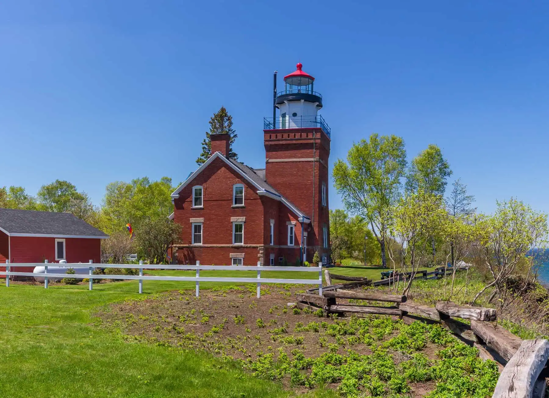
Big Bay Point Light Station.jpg (featured image) — rossograph, via Wikimedia Commons
Featured image record. Published Jun. 8, 2019. Accessed Sep. 9, 2026. CC BY-SA 4.0.
Commons file identified Sept 9 2026 via the Commons API from the author credit and matching aspect ratio.
