Every Yooper knows Pictured Rocks. But if you’ve only ever seen it from a boat deck or the edge of a trail, you’ve been getting about half the picture.
Here’s something a lot of people don’t realize: this wasn’t just any park. In 1966, Pictured Rocks became the very first National Lakeshore in the entire country. Three more came along later — but the U.P. got there first.
Watch this drone footage and you’ll understand exactly why Congress decided this stretch of Lake Superior was worth protecting forever. Then stick around — we’ll get into what makes it so special. 👇
A First-in-the-Nation Stretch of Lake Superior
Pictured Rocks National Lakeshore runs more than 40 miles along Lake Superior’s southern shore, from Munising all the way to Grand Marais. When President Lyndon B. Johnson signed it into protection in 1966, it became America’s very first national lakeshore — beating out every other Great Lakes shoreline for the honor.
Where the “Pictures” Actually Come From
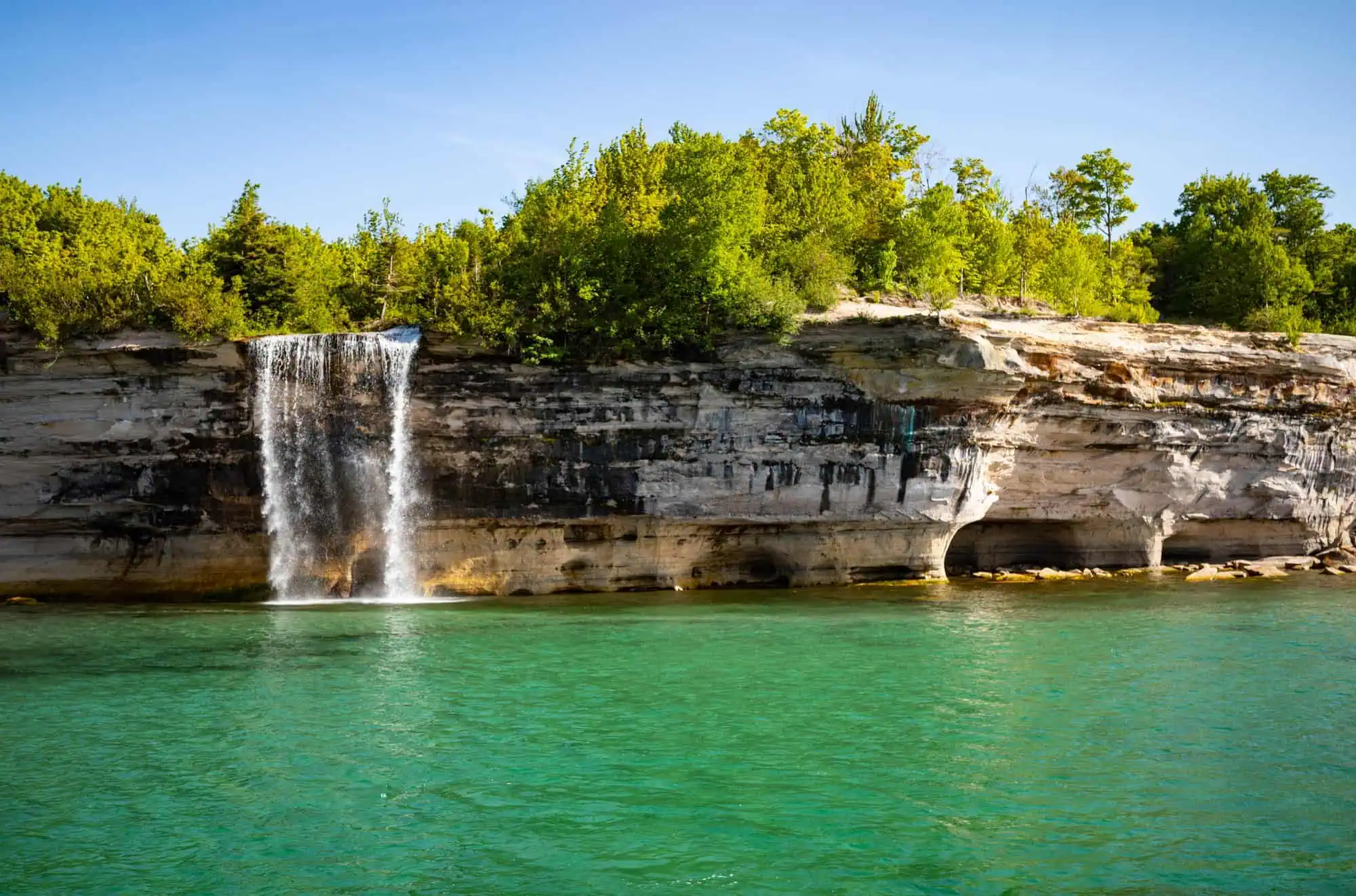
The name isn’t just marketing. About 15 miles of sandstone cliffs — some rising a full 200 feet straight out of the water — are streaked with color: rusty reds and oranges from iron, blues and greens from copper, blacks and browns from manganese, tans from limonite. All of it comes from mineral-rich groundwater slowly seeping out of sandstone that’s roughly 500 million years old. Nature painted those cliffs one drip at a time.
Why It Looks So Unreal From Above
Here’s why drone footage (and the boat cruises) hit so much harder than the view from a trail: from land, you’re standing on top of the cliffs, mostly looking at forest and the edge of a drop-off. The real show — the sea caves, the arches, Miners Castle, Spray Falls tumbling straight into Lake Superior — all faces the water. You pretty much have to get out on the lake or up in the air to take it in. Which is exactly what makes this footage so good.
Still Right in Our Backyard
Long before it was a park, the Anishinaabe knew this coast as a sacred place, and its beauty later worked its way into Longfellow’s “Song of Hiawatha.” Today it pulls in over a million visitors a year from all over the world. And for us? It’s just down the road.
For more on the places that make the U.P. unreal, check out the rest of Yooper Hub.
🎥 Video credit: Livin’ It on YouTube. All footage belongs to them — we’re just sharing the love.
Yoopers — have you done the boat cruise, kayaked under the cliffs, or only ever seen Pictured Rocks from the road? 👇
More worth reading


Yooper Hub community
The conversation
Know something this story missed? Corrections and additions get read by an editor and folded into the article, with credit.
Real neighbors, real names. A Yooper Hub editor reads your first comment before it appears; after that you’re a known neighbor and your comments post right away. No account required. Community guidelines
Nothing here yet. A sentence is plenty: a correction, a name, or what you remember about this place.
Sources, credits, and reporting details
Sources & accountability
How this story was reported
Editorial methodAggregation
Last verifiedJul. 13, 2026
Corrections statusNo material correction identified in the July 13, 2026 source review.
AI assistanceResearched and drafted with AI tools. Reviewed and approved by editor Keegan O’Brien.
Verification note: CEO-directed review checked the central claims against 1 direct public evidence link on July 13, 2026. No material correction was identified.
Primary sources
-
Accessed Jul. 13, 2026.
Direct public evidence reviewed against the article on July 13, 2026.
Photo and media credits
-
Pictured Rocks National Lakeshore, Michigan — rboed* / Wikimedia Commons
Featured image record. Published Jun. 2, 2024. Accessed Aug. 15, 2026. CC BY 2.0.
Supports: Photo credit for the featured image.
Featured image added 2026-08-15. Resized from 7864×5200 to 2000×1322, no crop. Attribution and licence in the caption.
